|
Track |
|
|
|
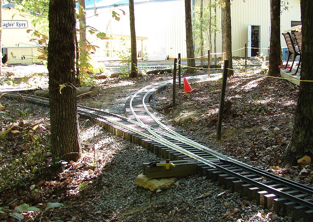
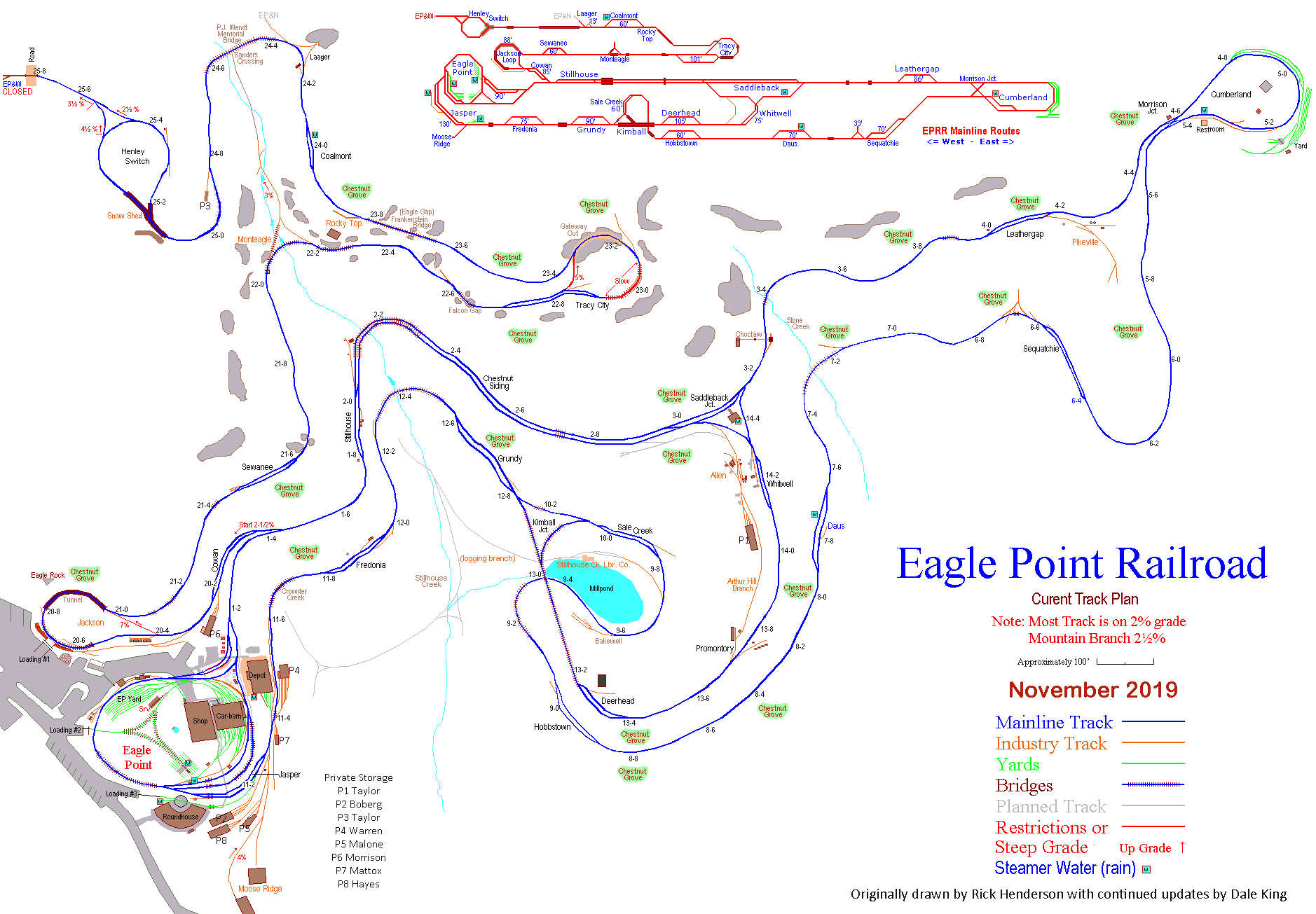
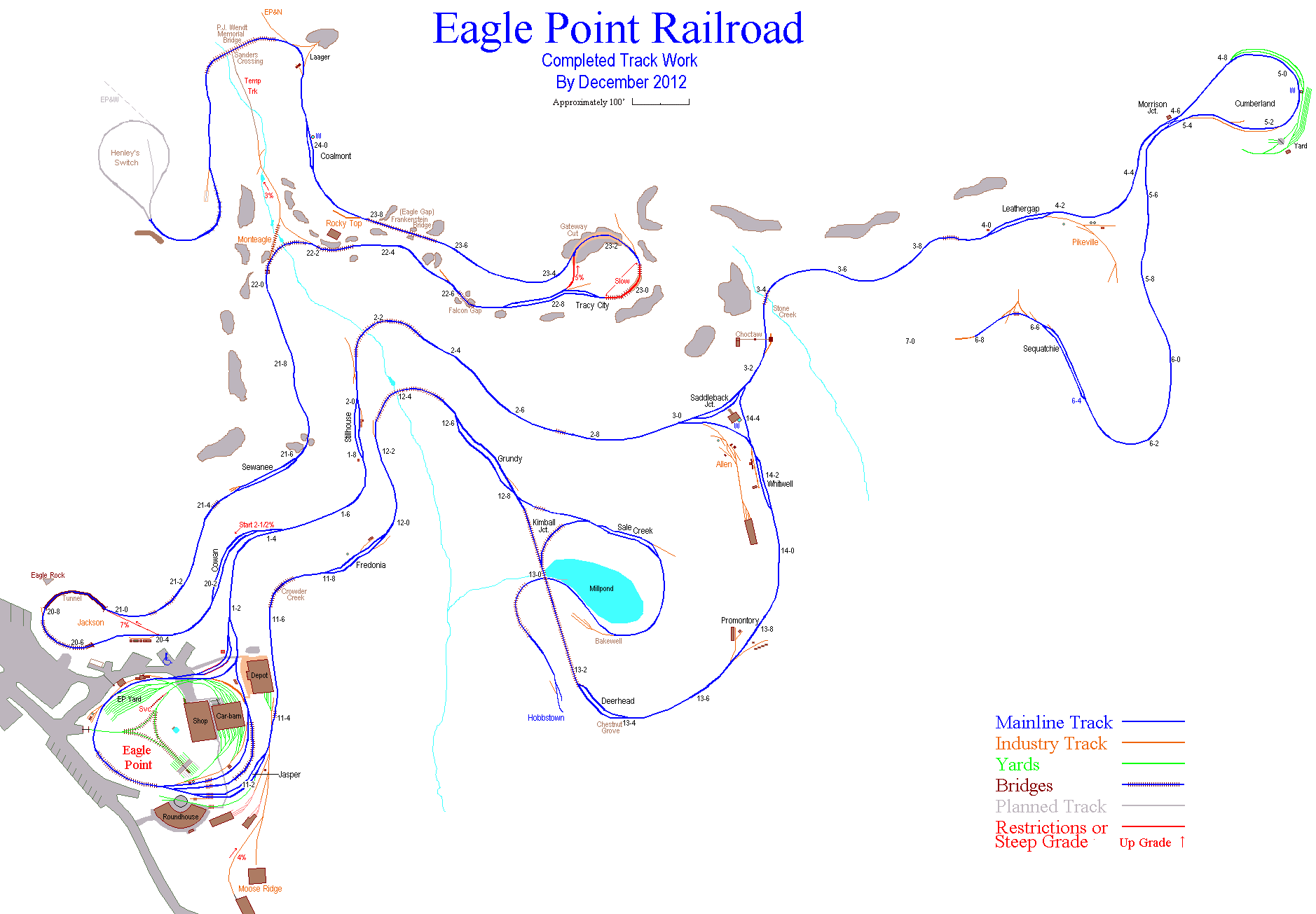
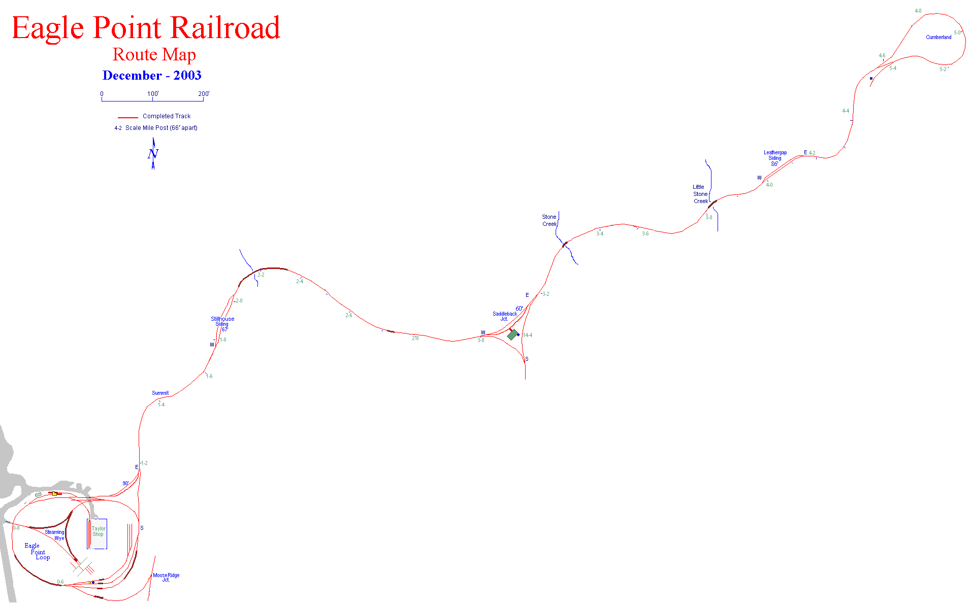
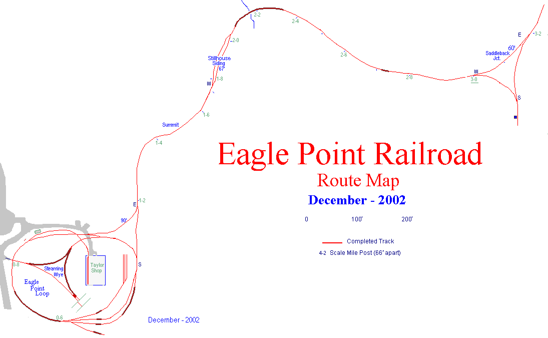
The railroad is spread out over 35 plus acres along the upper edge of
the Cumberland Plateau. It is a signal controlled, single track
railroad with bi-directional operation and follows the terrain of the
hillsides. |
|
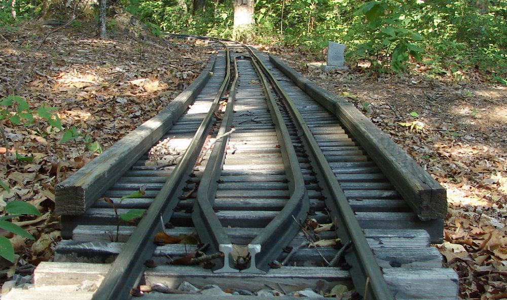
- Track gauge is 7½" with curves laid at
75/8" to accommodate long wheelbase equipment
- Minimum radius is
60' on mainline and
50' in industrial areas and the mountain branch
- Maximum grade is 2% on mainline, 3% in industrial areas and the
mountain branch
- Minimum clearance width is 19" from centerline of track
-
Minimum overhead clearance height is 60"
- Shortest passing siding will hold a 60' train
- Turnouts are #8 on mainline, #7 on mountain branch and #6 in yards and
industrial areas
- Most turnouts are sprung and some key turnouts are remote controlled by
engineer as they approach
- Signals are located on all mainline
blocks and are manually controlled by engineers as they enter and leave
blocks
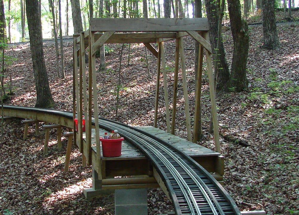
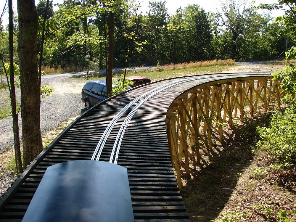
- There are 15
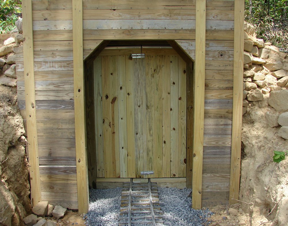
trestles and 15
small bridges including a working drawbridge
- There is one
tunnel with an
interior clearance
of 41" width by 60" height located on the mountain branch
|
|
|
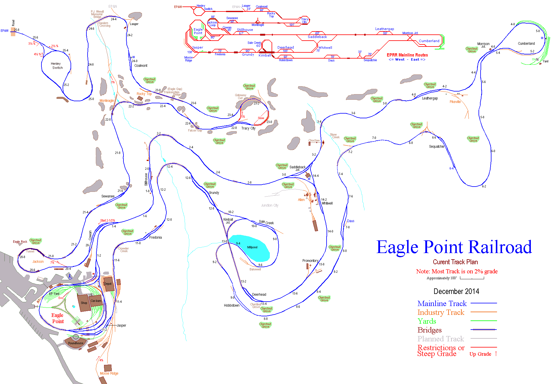
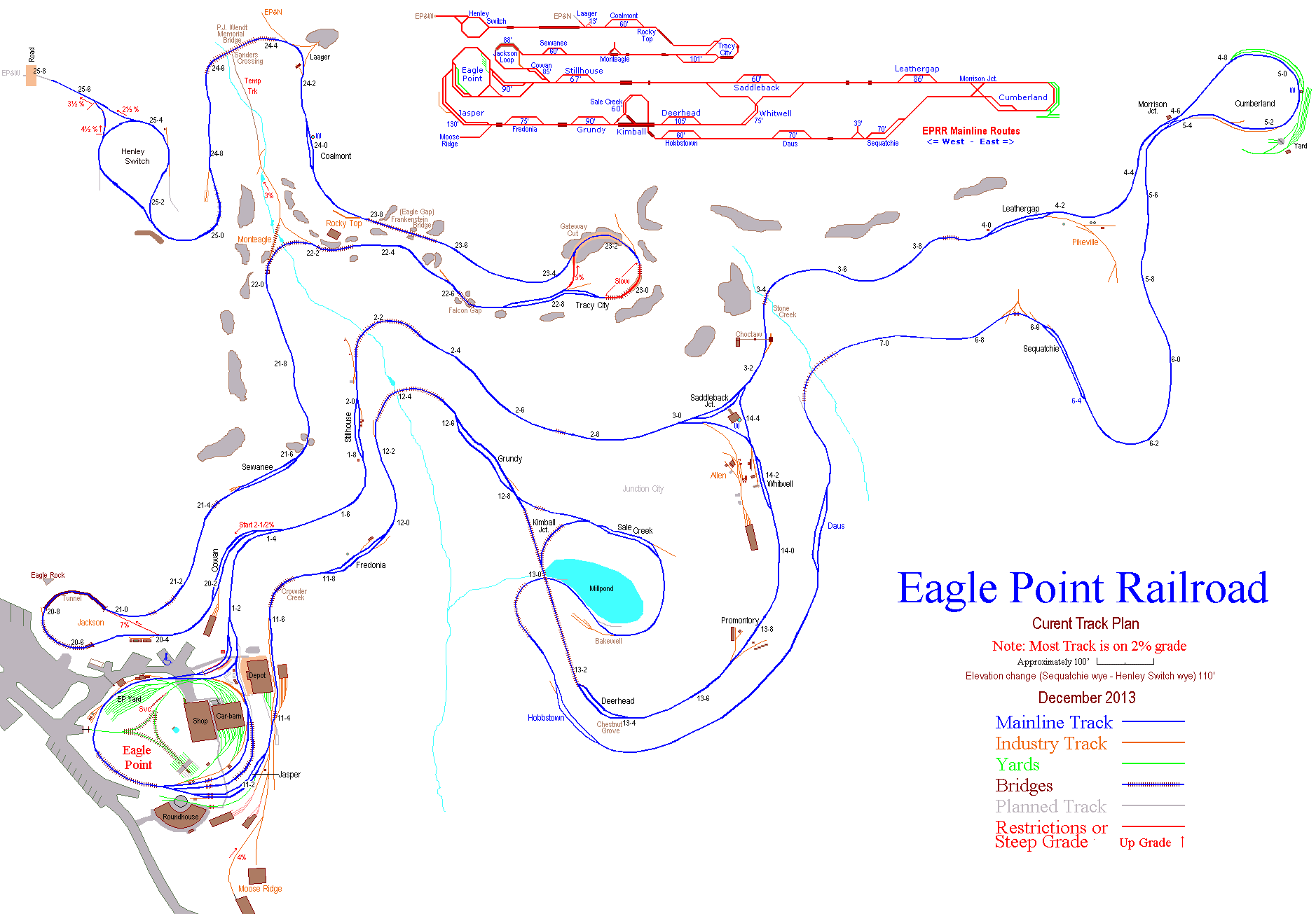
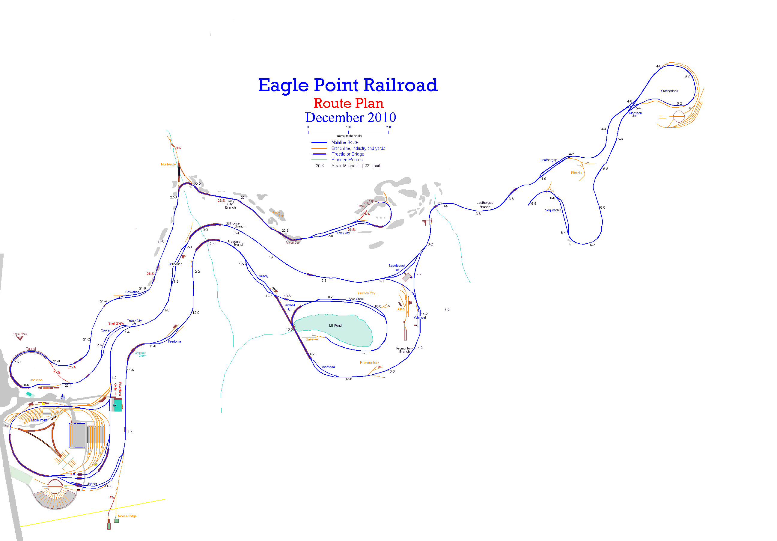
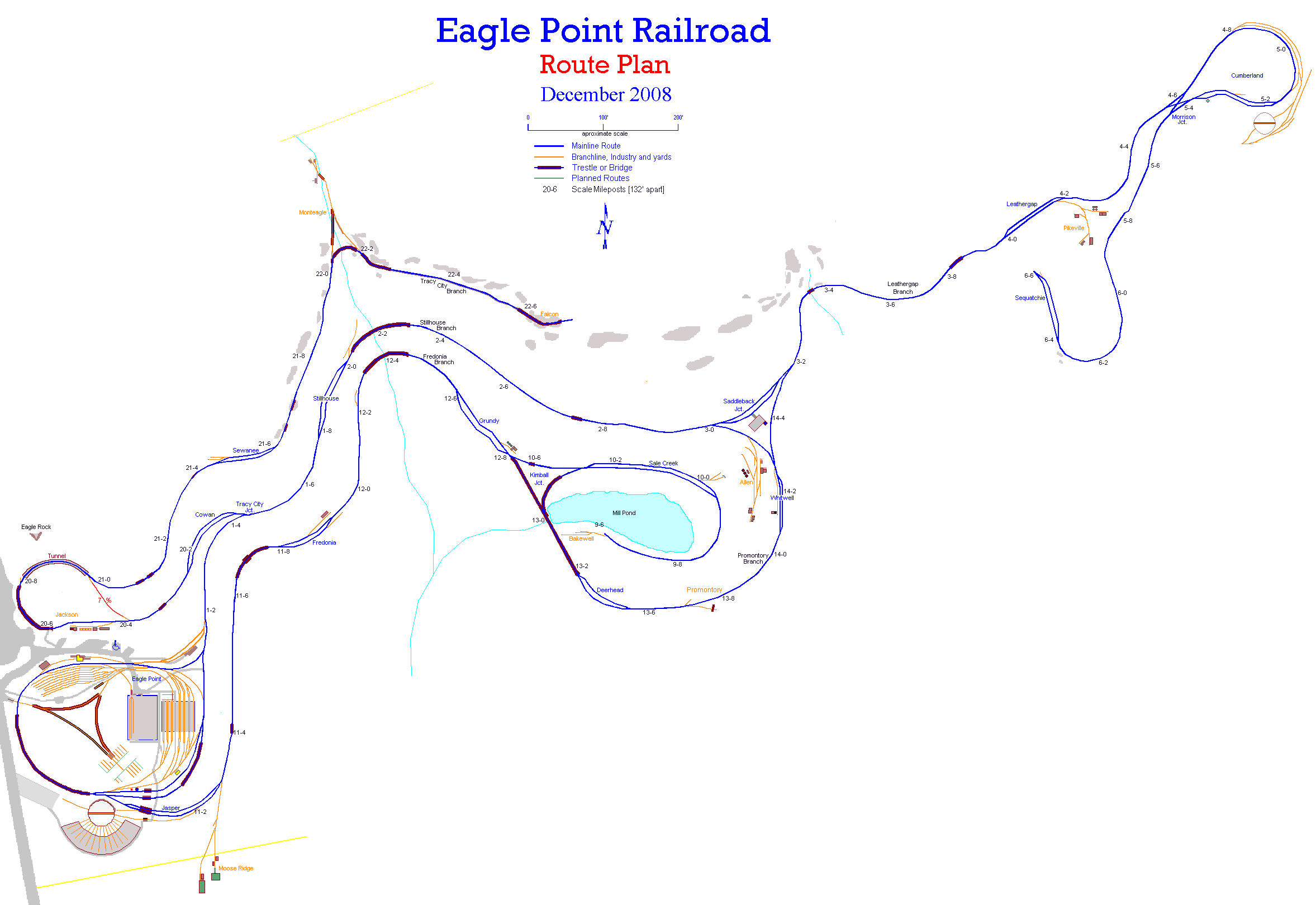
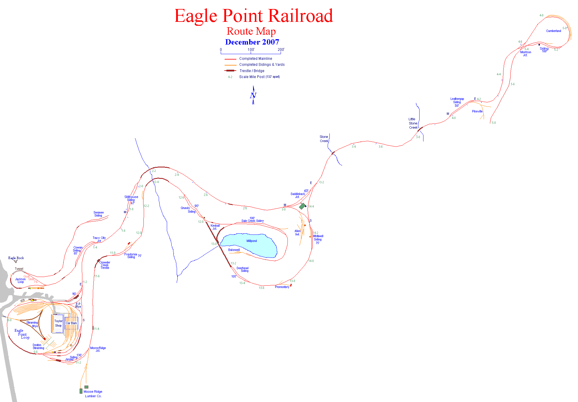
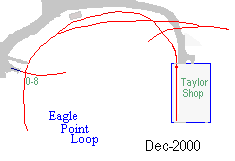
Each of the following button link is a map of the progress at the end of
each year. |
|
Current |
Track complete |
Track complete |
Track complete |
Henley's switch |
On to Laager Wye |
Tracy City Cut |
|
Sequatchie and TC |
Tracy City Branch |
Jackson Loop |
Promontory Branch |
Kimball Trestle |
Fredonia Branch |
Leathergap Branch |
|
Stillhouse Branch |
Eagle Point Loop |
Beginning |
|
|